
Agricultural Climate Intelligence
Flood risk and weather alerts for Nigeria's farming communities - by crop, by zone, by state
Agro-Ecological Zones
Tap any state to filter the page by its agro-ecological zone
Click a zone on the map to filter the page
Zone Summary
Current season phase, planting windows, and flood watch by zone
Commodity Corridors
Agricultural transport routes colored by flood risk status
0
Disrupted
3
Monitor
0
Clear
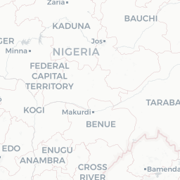
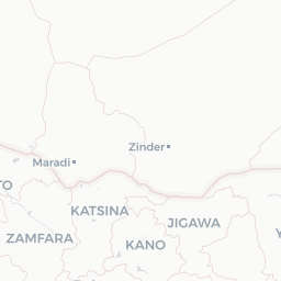
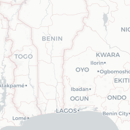
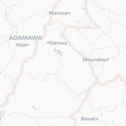
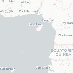
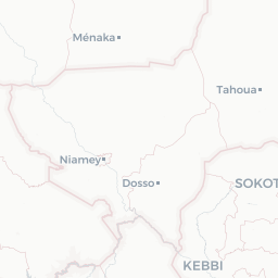
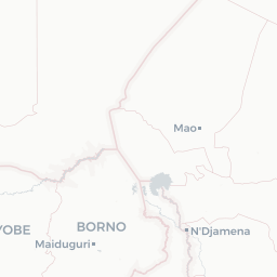
Road status data is updated from community reports and available government sources.
End-of-Season Yield Projection: Dry 2026
Projected end-of-season yield per crop based on historical averages and current season pace
No harvest data available for projection
Historical harvest records are needed to generate yield projections
Harvest Results
Year-to-date harvest records, seasonal trends, and yield comparisons across crops and states
Total harvest quantity by state and crop type, compiled from farmer-reported records
No harvests logged for 2026 yet
Farmers can log harvests from the Farmer Dashboard to appear in this summary
Compare harvest quantities across seasons and crop types to see year-over-year yield performance
No harvest data recorded yet
Harvest records logged by farmers will appear here as trend lines across seasons
Multi-year yield performance to identify which crops are becoming more productive over time
No harvest data recorded yet
Multi-year yield trends will appear here as farmers log harvest results across seasons
State-by-State Agricultural Risk
Sortable, searchable breakdown of flood risk and planting guidance for all 37 states